The very first scientific research paper about Estonian waterbodies analysed the fisheries of Lake Peipsi and was published in 1851 by Karl Ernst von Baer. The more systematic hydrobiological research of lakes and rivers on Estonian territory was started after World War I at the University of Tartu. In the years 1920 – 1940 these investigations were led by prof. Heinrich Riikoja (1891 – 1988) from the chair of zoology.
After World War II research of water bodies restarted in the department of hydrobiology in the newly established Institute of Biology (later Institute of Zoology and Botany). The applied fishery research started on greater lakes and rivers (River Emajõgi, Lake Võrtsjärv). In following years preliminary hydrobiological information was gathered from almost all lakes in Estonia. The first comprehensive survey of Estonian lakes (“Eesti järved”) was published in 1968. Similar publication about rivers („Eesti jõed”) came out in 2001.
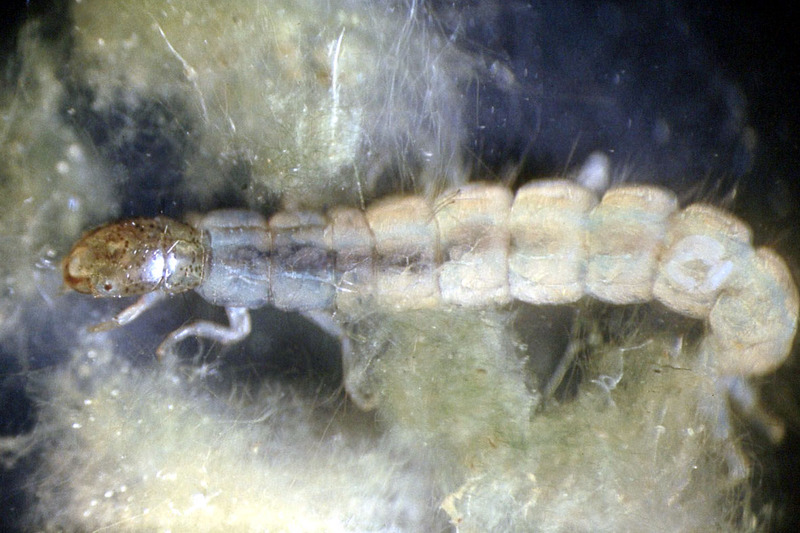
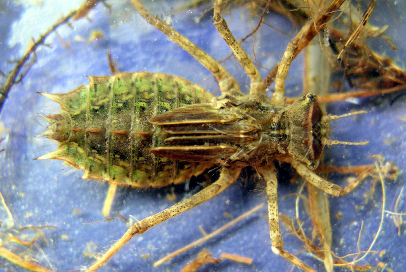
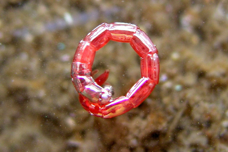
A large part of the material collected during the works has been preserved: either in preserved, dried or prepared form. In the future, it will be possible to study it more closely, for example with DNA analysis or to evaluate the content of stable isotopes.
In the course of routine research work a very valuable byproduct is lot af photos from lakes and rivers. Comparison of these photographic images taken decades apart gives sometimes better evaluation of impact caused by man-made and natural factors than huge database scrutiny of water chemistry. In this case the appropriate comparison would be with photos of Alpine glaciers – photos taken in the end of XIX century and today give sometimes the best evidence of climatic change.
The photos of Estonian lakes were scattered in different publications and therefore to follow the landscape changes of certain waterbody was quite complicated. The virtual gallery makes this process more convenient and easy. The photos in gallery are grouped geographically – by counties. In the most cases exact shooting location information (longitude, latitude, elevation, direction) is missing and in some cases even approximate shooting time is unknown. Therefore the gallery is open to supplementation and upgrade by wider audience. The image files for the gallery were prepared by H. Timm from Võrtsjärv Centre for Limnology, web design and programming by V. Vahenurm.